


Jbel el Kelaa Summit Trek from Chefchaouen – Full Day Hike
Climb Chefchaouen's own mountain. A 16.5 km loop into Talassemtane National Park with 1,140 m of ascent, a 1,600 m summit and the best view there is of the Blue City.
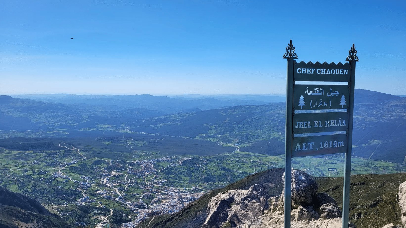
Chefchaouen is famous for its blue walls, but the mountain standing over it is what shapes the town, and almost no visitor climbs it. Jebel el Kelaa, the rocky peak you see from every rooftop terrace in the medina, rises to around 1,600 m — and this full-day hike takes you to the top of it and back.
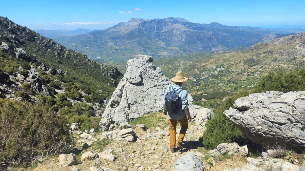
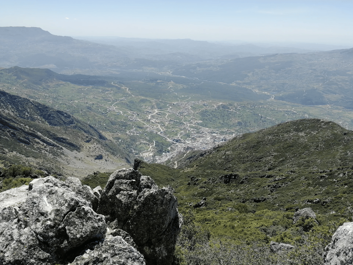
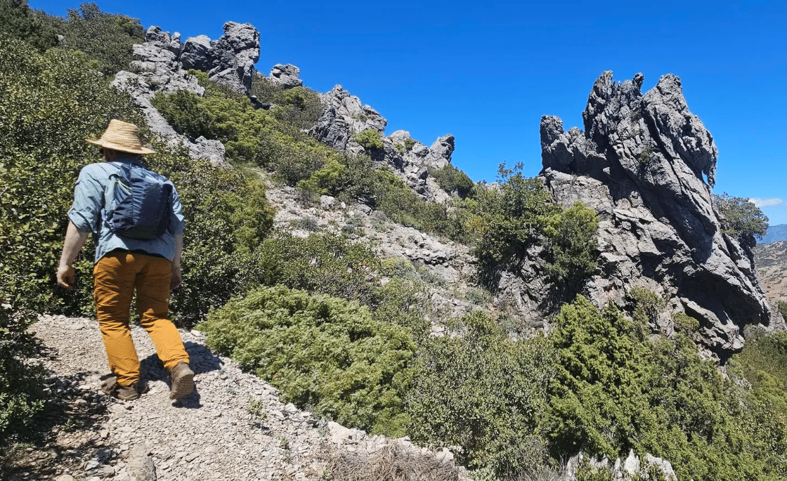
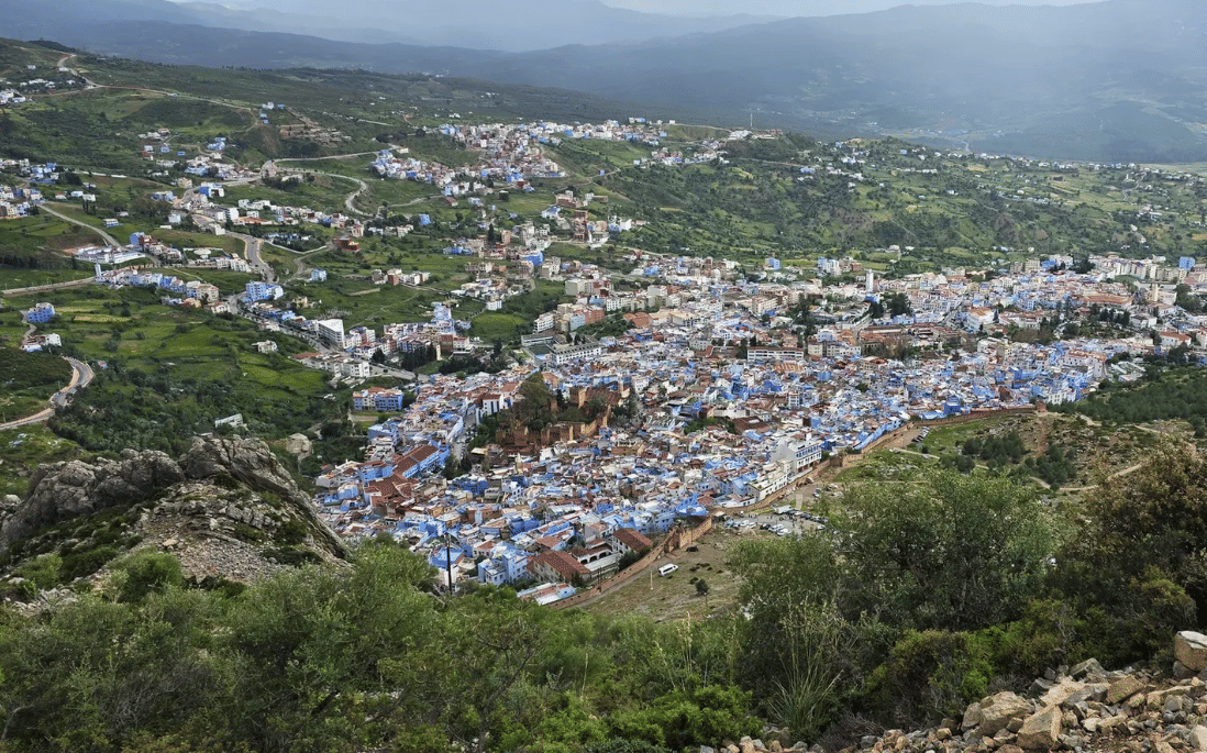
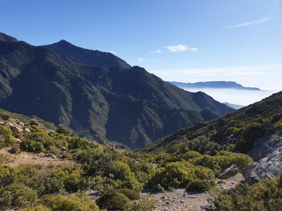
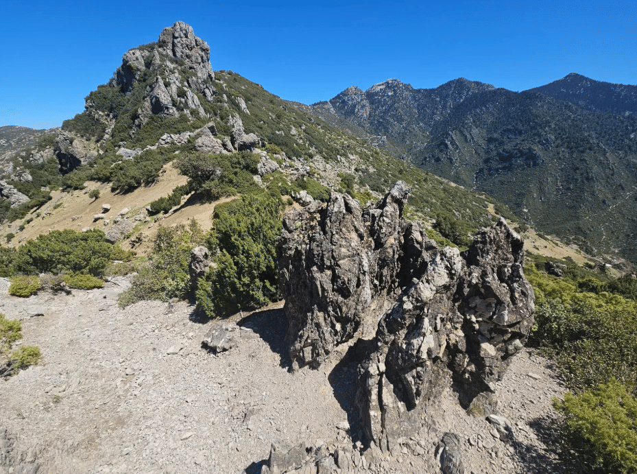
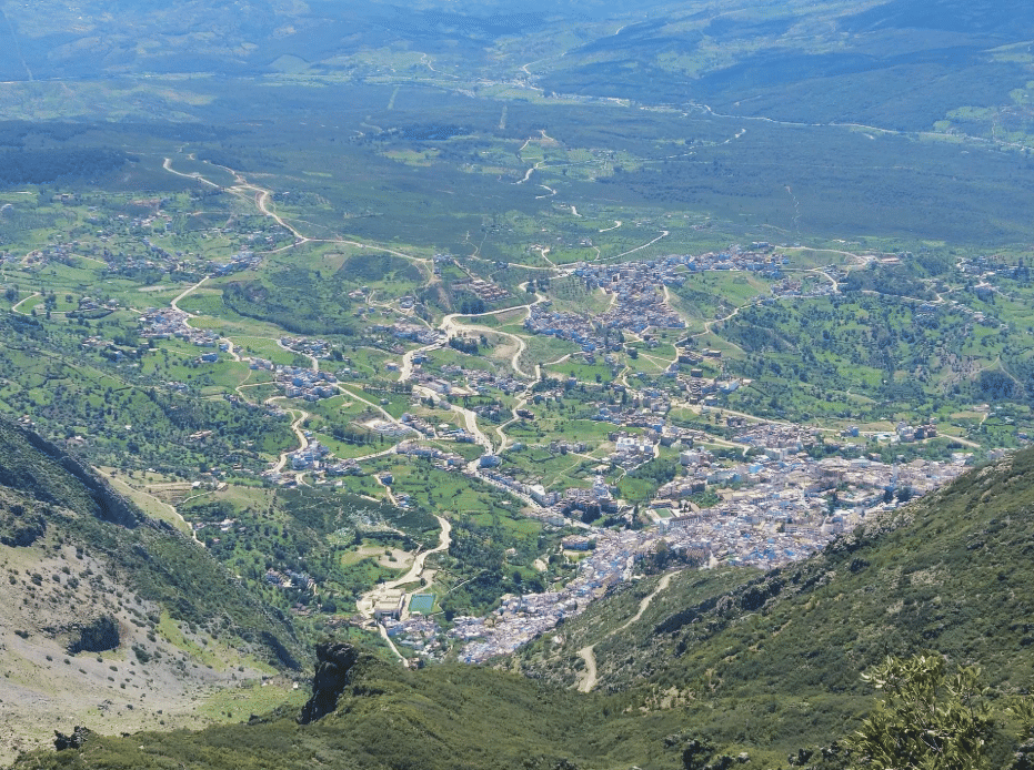
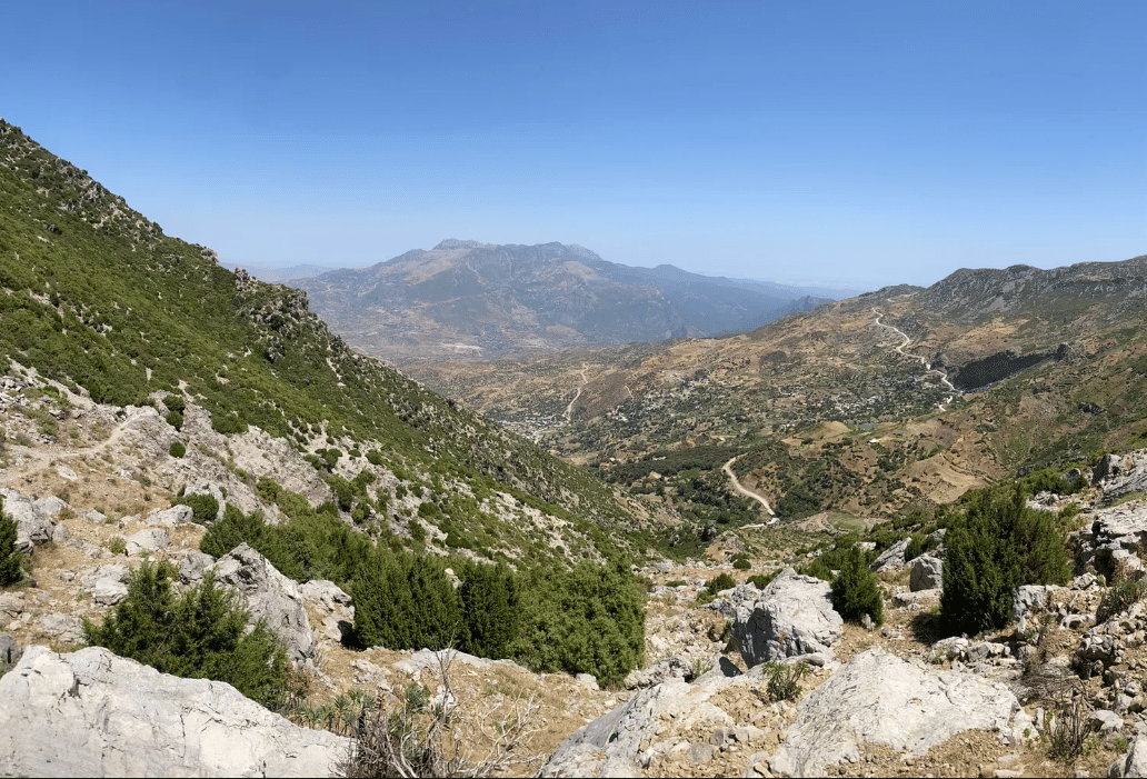
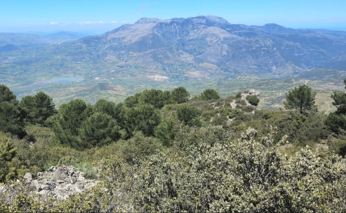
We leave the medina early and climb out of town on the old mule paths, into Talassemtane National Park. The trail works its way up through oak, cedar and wild rosemary, past Horse Head Rock and an abandoned car that has become a local landmark, until the ridge opens up and the whole Rif range spreads out behind you. From the summit, on a clear day, you can see the Mediterranean, the Talassemtane valleys and the town itself, tiny and blue, far below.
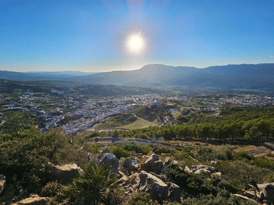
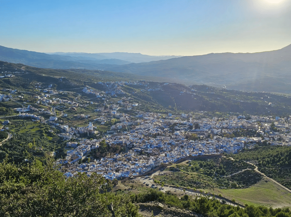
The descent follows a different line, so the walk is a true loop, and it finishes at a viewpoint over Chefchaouen before dropping back into the medina.
This is a serious mountain day: 16.5 km with 1,140 m of ascent, on rocky and sometimes exposed terrain. It rewards walkers who are comfortable with a long climb, and your local mountain guide handles the route, the pace and the water stops.
Distance: 16.5 km (loop). Ascent and descent: 1,140 m. Walking time: around 6 hours 30 minutes, 8 hours in total with breaks and lunch. Highest point: Jebel el Kelaa summit, approx. 1,600 m. Start and finish: Chefchaouen medina.